Drone technology is revolutionizing the field of urban planning, bringing unprecedented efficiency, accuracy, and cost-effectiveness to land surveying and mapping. This article explores how urban planners leverage drones for land surveying and the transformative impact of this technology.
I. Advantages of Drone Land Surveying
1.1 Increased Efficiency
Compared to traditional surveying methods, drones can quickly cover large areas. A single drone can complete in hours what traditional surveying teams would take days or even weeks to accomplish.
1.2 Cost-Effectiveness
Drone surveying significantly reduces labor costs and equipment investment. High-quality mapping data can be obtained without the need for large surveying teams and expensive ground equipment.
1.3 Enhanced Safety
Drones can safely access hazardous or hard-to-reach areas such as steep slopes, construction sites, or contaminated zones, reducing safety risks for personnel.
Key Data Comparison
According to industry research, drone land surveying compared to traditional methods:
- Efficiency improvement: 300-500%
- Cost reduction: 40-60%
- Data accuracy: Centimeter-level precision
- Coverage area: Hundreds of hectares per flight
II. Specific Applications in Urban Planning
2.1 Topographic Mapping & 3D Modeling
Drones generate high-precision Digital Terrain Models (DTM) and Digital Surface Models (DSM) through photogrammetry, providing accurate terrain data for urban planning.
2.2 Land Use Analysis
Using multispectral and thermal imaging sensors, drones can analyze land use types, vegetation cover, soil conditions, and more, providing scientific basis for urban planning decisions.
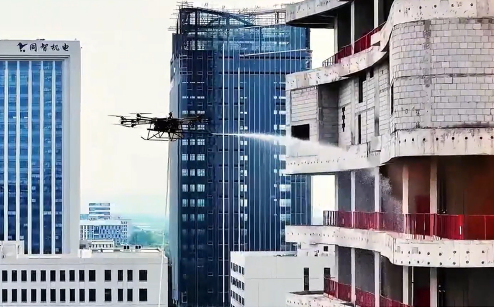
2.3 Infrastructure Monitoring
Regular drone monitoring of roads, bridges, pipelines, and other infrastructure helps identify potential issues early and optimize maintenance plans.
2.4 Development Project Monitoring
During urban construction, drones can capture regular progress photos and generate construction progress reports to ensure projects stay on schedule.
III. Technical Process & Workflow
3.1 Pre-flight Planning
- Define survey area and flight boundaries
- Plan flight paths and altitudes
- Check weather conditions and airspace restrictions
- Prepare necessary permits and approval documents
3.2 Data Collection
- Execute automated flight missions
- Capture high-resolution image data
- Record GPS and IMU data
- Ensure sufficient image overlap
3.3 Data Processing
- Image preprocessing and correction
- Generate point cloud data
- Create 3D models and orthomosaics
- Extract measurement and volume data
3.4 Analysis & Reporting
- Integrate with GIS systems
- Generate professional reports and visualizations
- Share data with planning teams
- Archive raw data and deliverables
IV. Technical Specifications & Requirements
| Technical Parameter | Basic Requirements | Recommended Configuration | Professional Grade |
|---|---|---|---|
| Camera Resolution | 12MP+ | 20MP+ | 45MP+ |
| GPS Accuracy | Meter-level | Sub-meter level | Centimeter-level (RTK/PPK) |
| Flight Time | 20-30 minutes | 30-45 minutes | 45-60 minutes |
| Data Processing Software | Basic Photogrammetry | Professional GIS Integration | Enterprise Solutions |
| Output Formats | JPG, PNG | GeoTIFF, LAS | Multiple GIS Formats |
V. Challenges & Solutions
5.1 Regulatory Challenges
Drone flight regulations vary across different regions. Solutions include: understanding local regulations, obtaining necessary permits, and maintaining communication with regulatory authorities.
5.2 Technical Challenges
Including weather impacts, signal interference, and data processing complexity. Address through professional training, backup equipment, and cloud computing resources.
5.3 Data Management
Large volumes of data require effective storage, processing, and analysis systems. Recommended solutions include cloud storage and professional data processing platforms.
Best Practice Recommendations
- Regular equipment calibration and maintenance
- Establish Standard Operating Procedures (SOP)
- Train professional operators
- Collaborate with professional software providers
- Implement data backup and security management systems
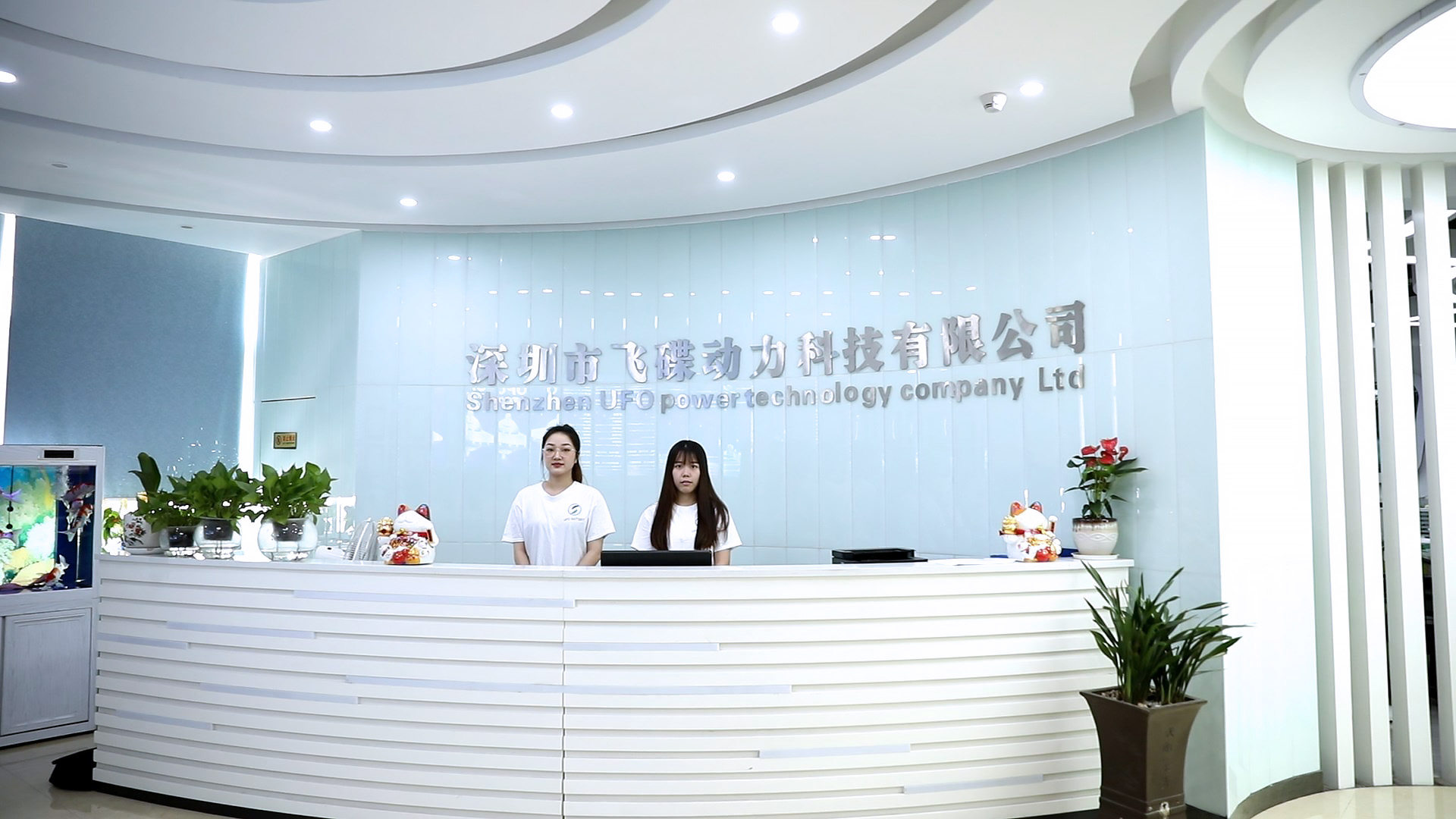
VI. UFOUAV – China Drone Manufacturer
6.1 About UFOUAV
UFOUAV is a leading Chinese drone manufacturer and factory specializing in the design, development, and production of professional-grade drones for urban planning, land surveying, and industrial applications. Based in China’s drone manufacturing hub, UFOUAV combines advanced manufacturing capabilities with innovative drone technology to deliver high-quality, reliable drone solutions to global markets.
6.2 Manufacturing Capabilities
- State-of-the-Art Production Facility: Modern factory with automated assembly lines and quality control systems
- R&D Center: Dedicated research and development team focusing on drone innovation
- Vertical Integration: In-house production of key components including frames, flight controllers, and gimbals
- Quality Assurance: ISO-certified manufacturing processes with rigorous testing protocols
- Customization Services: OEM/ODM capabilities for specialized drone requirements
6.3 Product Portfolio
UFOUAV Drone Series for Urban Planning
- Surveyor Pro Series: High-precision mapping drones with RTK/PPK modules
- Inspector Series: Compact drones for infrastructure inspection and monitoring
- Mapping Master Series: Professional photogrammetry drones with high-resolution cameras
- Multi-Sensor Platforms: Drones compatible with RGB, multispectral, thermal, and LiDAR payloads
- Long-Endurance Models: Industrial drones with extended flight time for large-area surveys
6.4 Manufacturing Advantages
As a Chinese drone manufacturer, UFOUAV offers several key advantages:
- Cost-Effective Production: Competitive pricing without compromising quality
- Supply Chain Efficiency: Direct access to China’s comprehensive electronics and component ecosystem
- Scalable Production: Ability to handle both small batch custom orders and large volume production
- Technical Support: Factory-direct technical assistance and after-sales service
- Global Certification: Compliance with international standards and regulations
Drone technology provides urban planners with powerful, efficient, and cost-effective land surveying tools. With the right equipment, processes, and training, urban planning departments can significantly improve work efficiency, obtain more accurate data, and make better-informed planning decisions.
As technology continues to advance and costs decrease further, drone applications in urban planning will become more widespread and sophisticated. Chinese drone manufacturers like UFOUAV play a crucial role in this transformation, offering high-quality, affordable drone solutions that make advanced surveying technology accessible to urban planning agencies worldwide.
For urban planners and surveying companies looking to implement drone technology, partnering with established manufacturers like UFOUAV provides direct access to factory-grade equipment, technical expertise, and cost-effective solutions. With China’s manufacturing advantages and UFOUAV’s focus on professional-grade drones, urban planning organizations can leverage cutting-edge technology while maintaining budget efficiency.
The future of urban planning will increasingly rely on drone technology, and manufacturers like UFOUAV are positioned to drive this evolution through continuous innovation, quality manufacturing, and global accessibility.