Summary: Discover how drone orthomosaic maps are transforming construction project management through improved visualization, accurate measurements, and enhanced communication. Learn about the key applications, benefits, and real-world case studies of this innovative technology.
What Are Orthomosaic Maps and Why Do They Matter?
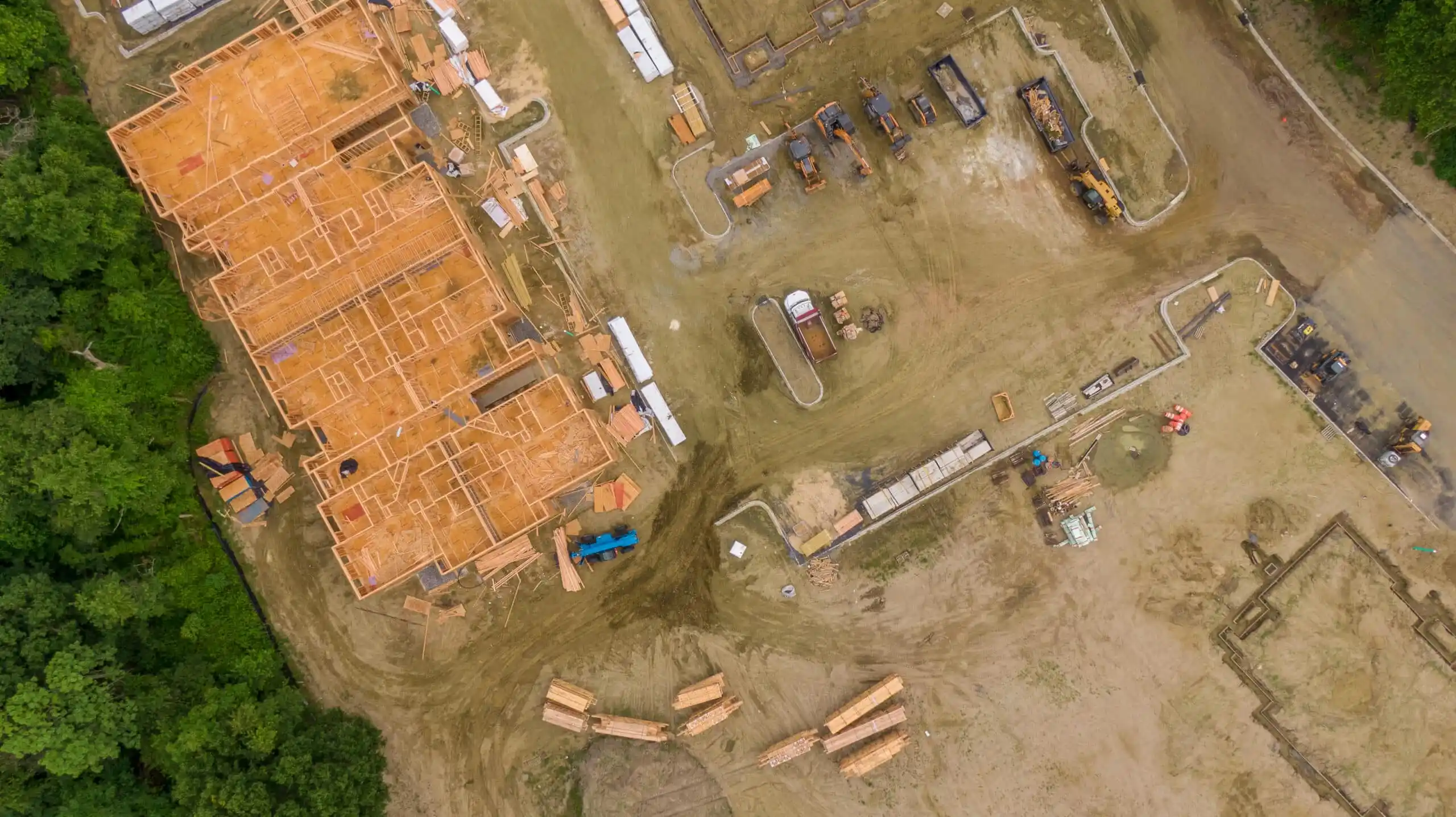
Orthomosaic maps represent a breakthrough in construction site documentation. Created by stitching together hundreds of overlapping aerial photographs captured by drones, these high-precision maps offer construction professionals unprecedented insights into their projects.
Unlike traditional aerial photography, orthomosaic maps are:
- Geometrically corrected to remove distortion
- Georeferenced with precise coordinates
- Scalable without losing accuracy
- Measurable for distances, areas, and volumes
Four Key Applications in Construction
1. Enhanced Project Planning and Design
Before breaking ground, construction teams can use orthomosaic maps to:
- Conduct detailed site analysis without physical presence
- Identify potential challenges and constraints early
- Create accurate base maps for design development
- Improve stakeholder communication with visual data
2. Real-Time Progress Monitoring
Weekly or monthly drone flights create a visual timeline of construction progress:
- Track work completion against schedules
- Identify delays before they become critical
- Document construction phases for compliance
- Provide transparent progress reports to clients
3. Accurate Earthwork Calculations
Traditional volume calculations are time-consuming and often inaccurate. With orthomosaic maps:
- Calculate cut and fill volumes with centimeter accuracy
- Monitor material stockpiles in real-time
- Reduce material waste and optimize logistics
- Generate precise quantity takeoffs for billing
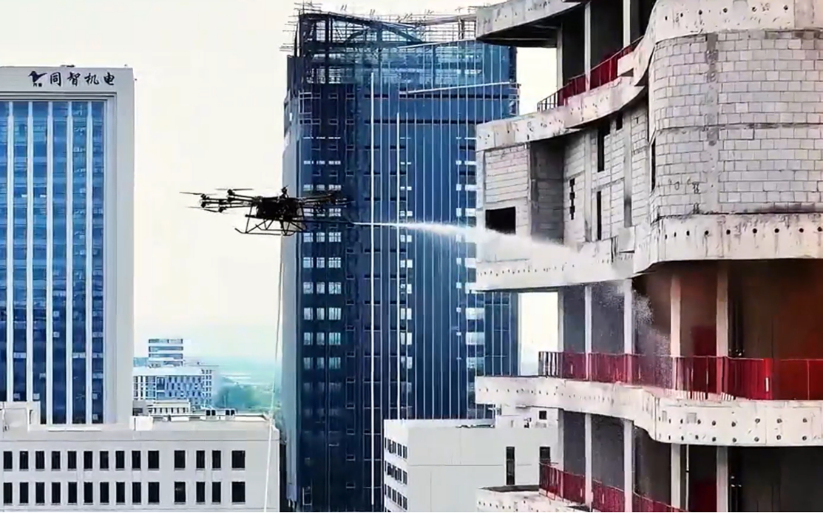
4. Quality Control and Safety Compliance
Regular aerial inspections help maintain quality standards:
- Identify construction defects from above
- Monitor safety protocol compliance
- Document site conditions for insurance purposes
- Reduce the need for risky manual inspections
The Business Case: ROI and Efficiency Gains
Cost Reduction
- 60% reduction in survey time
- 30-50% lower survey costs
- Reduced rework through early issue detection
- Optimized material usage
Time Savings
- Rapid data collection (hours vs. days)
- Faster decision-making with real-time data
- Reduced site meeting time
- Quick issue resolution
Improved Communication
- Visual progress reports for stakeholders
- Clear documentation for disputes
- Enhanced team collaboration
- Better client relationships
Real-World Success Story
$2.3 Million Project Secured Through Drone Documentation
Challenge: An engineering firm needed to demonstrate the scope and urgency of a restoration project to secure funding.
Solution: Using UFOUAV drone technology, the team created detailed orthomosaic maps showing:
- Current site conditions and damage assessment
- Precise measurements of affected areas
- Visual timeline of deterioration
- Proposed restoration scope visualization
“The orthomosaic maps provided by UFOUAV were instrumental in our funding application. We could show decision-makers exactly what needed to be done, with precise measurements and compelling visuals that traditional reports couldn’t match.”– Project Manager, Engineering Firm
Results: The firm successfully secured $2.3 million in funding, with the drone documentation cited as a key factor in the decision.
Getting Started with Drone Technology
For construction companies considering drone adoption, UFOUAV recommends this approach:
- Start with a pilot project – Choose one project to test the technology
- Focus on specific pain points – Address areas where traditional methods are inefficient
- Measure results quantitatively – Track time savings, cost reductions, and error rates
- Scale gradually – Expand to more projects as the team gains experience
- Invest in training – Ensure team members understand how to use and interpret the data
Why UFOUAV is the Right Choice
UFOUAV offers comprehensive drone solutions specifically designed for the construction industry:
- Industry-specific expertise – Our team understands construction workflows
- Complete solution package – Hardware, software, and support in one package
- Training and certification – Get your team up to speed quickly
- Ongoing support – Technical assistance when you need it
- Proven ROI – Documented case studies showing real results
Conclusion: The Future is Aerial
The construction industry is undergoing a digital transformation, and drone technology is at the forefront of this change. Orthomosaic maps are no longer a novelty but a necessity for competitive construction firms.
By adopting UFOUAV drone solutions, construction companies can:
- Improve project accuracy and reduce errors
- Enhance communication with all stakeholders
- Reduce costs and increase profitability
- Complete projects faster and more efficiently
- Build a reputation for innovation and quality
The question is no longer whether to adopt drone technology, but how quickly you can implement it to stay ahead of the competition.
Ready to Transform Your Construction Projects?
Contact UFOUAV today for a free consultation and discover how our drone solutions can benefit your specific projects.